Your Aventure Starts Here!
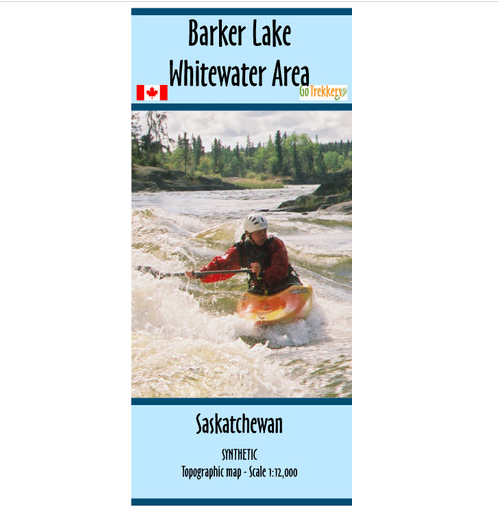
Map - Barker Lake Whitewater Area SYN
SKU 1487_sku
C$28.95
In stock
1
Product Details
UPC: 9781897482070
Brand: GoTrekkers
Map of Barker Lake Whitewater Area, Saskatchewan. Size 30" x 20", scale 1:12,000.
Canoe photo topographic map with a UTM grid of the white water Barker lake area in Northern Saskatchewan. Made in conjunction with Churchill River Canoe Outfitters.
Shows the suggested canoe route with campsites, rapids/portage information, and points of interest. The map includes forest fire burns areas from the past decade
Printed on synthetic/waterproof paper and comes in a protective plastic sleeve.
Save this product for later
Map - Barker Lake Whitewater Area SYN
Display prices in:CAD

